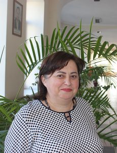
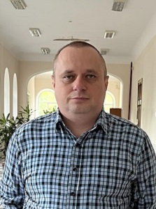
Acting the head of the department,
candidate of economic sciences, associate professor
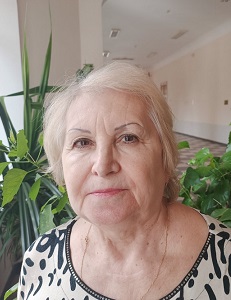
Malashchuk Oksana
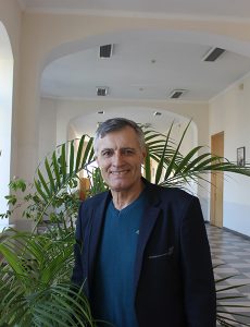
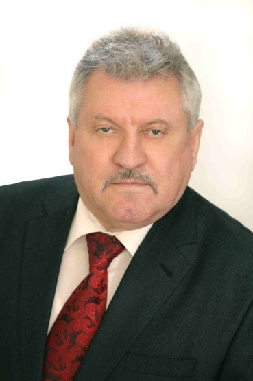
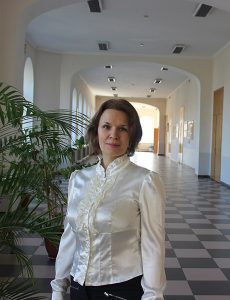
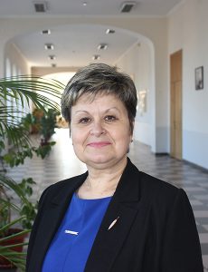
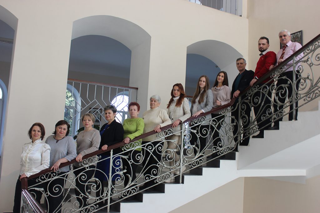
Personnel of the department
| Full name | Position, academic degree, academic title | Additional Information |
|---|---|---|
Malashchuk Oksana | Acting the head of the department of geodesy, land management and land cadastre candidate of economic sciences, associate professor |   |
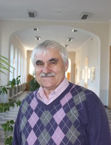
Fomenko Viacheslav | Associate professor of the department of geodesy, land management and land cadastre candidate of economic sciences, associate professor | |
 Mykhailiuk Viktor | Professor of the department of geodesy, land management and land cadastre doctor of geographical sciences, professor |
|
 Sydorenko Viktor | Professor of the department of geodesy, land management and land cadastre doctor of technical sciences, professor | |
 Movchan Tetiana | Associate professor of the department of geodesy, land management and land cadastre candidate of economic sciences, associate professor | |
 Sopov Dmytro | Associate professor of the department of geodesy, land management and land cadastre | |
 Panasiuk Olha | Senior teacher of the department of geodesy, land management and land cadastre | |
 Smolenska Lidiia | Senior teacher of the department of geodesy, land management and land cadastre | |
 Vikulina Kseniia | Head of the educational laboratory | |
 Kondrashova Tetyana | Senior laboratory assistant of the department of geodesy, land management and land cadastre | |
 Belinskyi Petro | Engineer of the 1st category, assistant of the department of geodesy, land management and land cadastre | |
The Department of geodesy, Land management and land cadastre carries out educational, scientific, organizational, methodological and educational work aimed at training highly qualified specialists in geodesy and land management at the first (bachelor’s) and second (master’s) levels of higher education.
Geodesy and land management is a specialty that belongs to the engineering professions and is distinguished by its diversity. A surveyor is a specialist in the study of our entire planet and other celestial bodies. His professionalism requires the construction of each building, the allocation of any land, the operation of all engineering structures, the design of high-rise buildings, industrial facilities, roads… Consequently, these specialists are in high demand at each facility that is developing.
In his work, the land surveyor ensures that land resources, which are the basis for the development of any country, are used rationally, efficiently and in accordance with the law. Such specialists are in demand in the fields of nature protection, management, agribusiness and construction.
In the process of learning, students develop knowledge, skills, abilities and professional competencies that provide ample opportunities for employment and organization of their own business.
The mission of the Department of geodesy, land management and land cadastre is to train highly qualified, creative, ambitious specialists in surveying, land management, specialists in the field of cadastre and geoinformation technologies.
Our core values:
- respect for the personality of all participants in the educational process;
- professionalism and personal development;
- decency, academic integrity, ethics;
- partnership and teamwork.
The main tasks of the department:
- providing quality educational services for the training of highly qualified specialists in geodesy and land management of educational degrees “bachelor”, “master”;
- organization and implementation at the appropriate scientific and methodological levels of the educational process in group and individual forms of work;
- conducting research and development of teachers, internships at related departments in leading institutions of higher education in Ukraine and abroad;
- cooperation in the field of science and education with higher education institutions, research institutions, public administration and local government, industry organizations, enterprises and other stakeholders;
- implementation of the principles of student-centered learning, education of harmoniously developed individuals who have deep theoretical knowledge, practical skills and abilities;
- organization of academic mobility with other institutions of higher education, holding joint lectures, round tables, preparation and publication of scientific and educational literature;
- conducting information classes for students of secondary schools and colleges in order to carry out career guidance work; organization of educational activities for children, adolescents and youth.
Teachers of the department are constantly improving their professional skills, participate in various trainings and seminars, attend webinars and round tables, undergo internships in domestic and foreign institutions of higher education.
List of disciplines taught at the department:
- Ecological and landscape design of perennial plantations
- State control over land use
- Economics of nature management
- Computer technology in geodetic works
- Geodetic monitoring of construction and reconstruction of buildings and structures
- Digital plans and maps
- Planning and organization of topographic and geodetic production
- Institutional support of topographic and geodetic works
- Engineering geodesy
- Geodetic works in road construction
- High-precision engineering and geodetic measurements
- Design and construction of geodetic reference networks
- Mathematical processing of geodetic measurements
- Topography
- Geodesy
- Higher geodesy
- Photogrammetry and remote sensing
- GIS and databases
- Cartography
- Landscape science
- Land management
- Satellite geodesy and spherical astronomy
- Electronic surveying instruments
- Computer graphics in land management
- Topographic drawing
- Land management design
- Geodetic works in land management
- Land use planning of settlements
- Cadastre of settlements
- State land cadastre
- Valuation and market of land and real estate
- Land monitoring and protection
- GIS in cadastral systems
- Institutional support of the real estate cadastre
- Land management
- Organization of land use
- Sectoral cadastres
- Investment analysis
- Soil science
- Land reclamation
- Soil science with the basics of geology
- Financial and economic activities in land management
- Metrology, standardization and certification
- Methodology and methods of scientific research
History of the department
The history of the Department of geodesy, land management and land cadastre dates back to the first half of the XX century. It was formed on structural subdivisions and educational and scientific directions, which were initiated at different times. The oldest scientific and primary field is soil science. In the State Administration it was started by prof. Nabokikh OG (1874-1920) – a well-known soil scientist and organizer of the first large-scale soil surveys in Ukraine. Today in the department there is a founded prof. OG Nabokykh in 1908–1912, the Soil Museum, in the exposition of which there are 48 four-meter monoliths of soils selected at the beginning of the 20th century, the museum also has collections of minerals and rocks. In 1921-1928 the head of the Department of soil science and Soil Museum was Prof. GI Tanfilev – a famous geographer, botanist and soil scientist.
The reclamation educational and scientific direction of the university is closely connected with the land management faculty of OSGI, which was organized in 1934 as a part of the departments of reclamation and geodesy. The first head of the Department of land reclamation was Dr. Tech. Sciences, Prof. VM Popov – Dean of the faculty of land management, an outstanding scientist in the field of hydrology of southern Ukraine. In the period from 1935 to 1940 at the department read the section of irrigation Cand. s.-g. SM Alpatiev, an outstanding scientist in the field of irrigated agriculture. The head of the Department of geodesy was Professor ID Androsov. The department included: Professor AM Kotomin, associate professors MM Ivanov, MO Khrennikov, BI Kozakov, OK Zagurchenko and others.
After the Second World War, the Faculty of land management resumed its work under the leadership of Associate Professor BI Kozakov, and then Professor MA Handelman. During the period of development of virgin lands of Kazakhstan, namely in 1961 the land management faculty of OSGI together with teachers and material and technical base was transferred to the city of Akmola of the Kazakh SSR.
In 1975, the Department of land reclamation and soil science was established within the Faculty of agronomy on the basis of the Department of land reclamation and geodesy and part of the disciplines of the Department of soil science and agriculture, headed by Dr. Geographer since 1976. Sciences, Prof. MO Kreida, since 1993 – Assoc. Golubchenko VF, and since 1999 – Assoc. Mikhailyuk VI
Ukraine’s independence and land reform gave impetus to the development of land management. Therefore, in 1993 the training of specialists in the specialty “Land management” at the Faculty of agriculture was resumed at OSGI. In the process of becoming a specialty and increasing the number of students in 1996-1997, departments were opened: geodesy, headed by Associate Professor VM Tretenkov, and land management design, headed by EA Shoykhet. In 1998, these departments were merged into one name – the Department of geodesy and land management and the head of the department became O. Yu. Vlasova. In 1999, the Department of land management at the Faculty of agronomy grew into an independent structure – the Faculty of land management, headed by Associate Professor O. Yu. Vlasov. The faculty included three departments: land cadastre, land management design and the department of geodesy.
In the period from 2002 to 2005, the Department of geodesy was headed by Associate Professor Yu. O. Dobrozhansky. Its members in different periods included experienced specialists and teachers: VO Suldin, MM Kostyuchek, OO Litvinenko, OO Pascal, VM Tretenkov, GM Vovkodav, V. F. Kukuev, IO Kisileva, SI Moiseeva, IO Litvinenko, OS Svitenko, YE Shpakovsky, TV Derkach, MI Shulyak, VP Kirs, OB Melnik.
In 2009, the departments of land cadastre, land reclamation and soil science and higher mathematics were merged. The head of the newly created Department of Land Cadastre was Prof. VI Mikhailyuk.
In 2016, by the decision of the Academic Council of Odessa State Agrarian University, the departments were reorganized, as a result of which the Department of Geodesy joined the Department of land management and renamed the Department of geodesy and nature management, headed by Associate Professor, Candidate of Military Sciences IR Alexandrovsky. The Department of land cadastre has received a modern name – the Department of land management and Cadastre as part of the Faculty of engineering and economics, headed by Prof. VI Mikhailyuk.
On December 1, 2021, the Department of geodesy and nature management and the Department of land management and cadastre were merged and renamed the Department of geodesy, land management and land cadastre, headed by the head of the Candidate of geographical sciences, Assoc. Leonidova IV
The Department of geodesy, land management and land cadastre under the World Bank program in Ukraine is equipped with the best world models of devices (GPS receivers from Leica, electronic total stations from Leica, Sokkia and Trimble, Leica photogrammetric system) and modern software (Arc Gis, ArcView, ArcView CGT, Gis 6, Digitals, Invent Grad, Machcad, TOPOGRAD).
Contact information
tel. 784-57-24
kafgeododau@ukr.net