The University has successfully completed the set of activities implemented on the Ukrainian side aimed at developing a modern system for assessing environmental vulnerability. 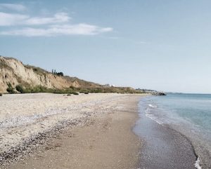 The implementation of these tasks has made an important contribution to strengthening cross-border cooperation and further developing a remote sensing–based methodology for assessing the resilience and vulnerability of coastal and urban areas to climate-related hazards, as well as enhancing the overall climate resilience of territories.
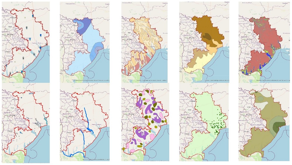
 During the first stage, a multi-layer database was created, integrating climate, hydrological, soil, landscape, and socio-economic indicators of the Black Sea region. The developed thematic layers enabled a systematic analysis of temperature and precipitation trends, drought and flood risks, the condition of land resources and ecosystems, as well as spatial land-use patterns. These layers formed the basis for further integration and the continued development of a cross-border methodology by Via Pontica Foundation.
At the next stage, the responsible partner from Bulgaria conducted a comprehensive analysis and developed a Methodological Plan for assessing the resilience and vulnerability of coastal and urban areas to climate change–related hazards. The composite Environmental Vulnerability Index was developed using a multi-criteria methodology with weighting coefficients assigned to different groups of indicators. This approach enabled the spatial classification of the project territory in Ukraine according to risk levels and helped identify areas requiring priority attention.
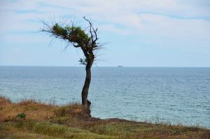
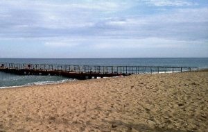
To validate the analytical model, the University carried out a large-scale field verification campaign. A total of 150 control points were surveyed within the Odesa region. 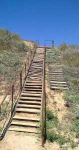 Experts conducted GPS-based coordinate registration, photographic documentation of site conditions, and assessments of climate vulnerability based on three key dimensions. The field results were compared with the calculated index values, ensuring strong scientific validity and practical relevance of the developed outputs.
The implemented activities are of particular importance for the Odesa region, which is increasingly affected by climate change, land degradation processes, and growing anthropogenic pressure. The developed vulnerability assessment system provides a solid foundation for strategic planning, the design of adaptation measures, and the implementation of sustainable development policies at the regional level.
 The implementation of Activity 1.1 serves as a strong example of effective cross-border cooperation, bringing together the scientific expertise of partners, advanced geospatial technologies, and financial support from the European Union. The achieved results have long-term significance for enhancing environmental security, strengthening regional resilience, and ensuring the successful continuation of the project.
The project is being implemented between July 26, 2024, and January 25, 2027, and has a total value of €1,594,728, of which €1,435,255.20 is funding provided by the European Union through the Interreg NEXT Black Sea Basin Programme. As a partner, Odesa State Agrarian University receives EU funding of 143.872,20 euros.
Facebook: MoreAdaptBSB
LinkedIn: MoreAdaptBSB
“Less vulnerability, more adaptability – pilot remote sensing assisted restoration of green spaces in coastal and urban areas within the Black sea region”
Odesa State Agrarian university
https://osau.edu.ua/en
osau@osau.edu.ua
March 3, 2026.
The responsibility for the content of this material is that of the author. The content of this material does not necessarily represent the official position of the European Union. Reproduction is authorized, provided the source is acknowledged, and any changes are indicated”